
Ponsonby Fell - Lake District Walk
Tuesday 31st July 2007
After yesterday's long walk we opted today for a shorter walk, with a late start and the shade of Blengdale Forest. Wainwright described Ponsonby Fell as almost being not worth climbing and when I got a boot-full of water as I fell into a ditch hidden by the long grass on my way up it I might well have agreed with him, however the views from the top more than made up for my sodden boots and socks. If the route seems somewhat of a meander that's because we took one or two 'interesting diversions' caused firstly by me ignoring the correct turn and secondly a rather wide and deep river that neither of us fancied attempting to cross. `
Start: Bleng Bridge car park (NY 0856 0548)
Route: Bleng Bridge car park - Blengdale Forest - Ponsonby Fell (192) - Blengdale Forest - Bleng Bridge car park
Distance: 6.25 miles Ascent: 350 metres Time Taken: 3 hours 20 mins
Weather: Very hot and sunny.
Pub Visited: The Bridge Inn, Santon Bridge Ale Drunk: Jennings Bitter
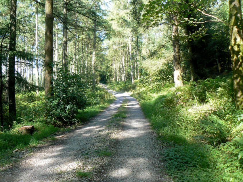
Heading through Blengdale Forest and making the most of the shade.
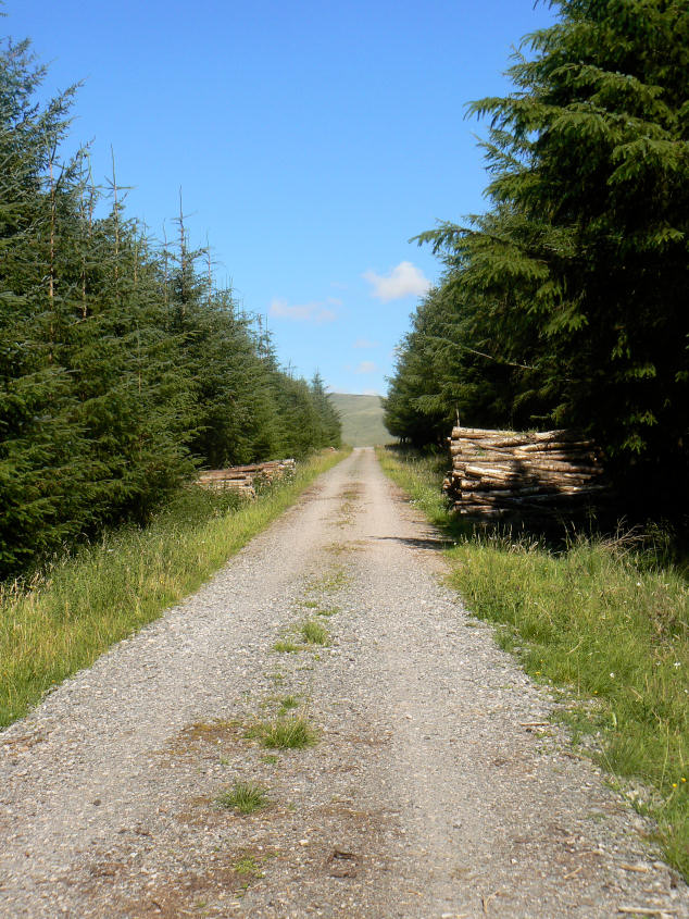
There was plenty of evidence of the work we could hear going on in the forest.

We emerged from the track to this view of Haycock and Seatallan.
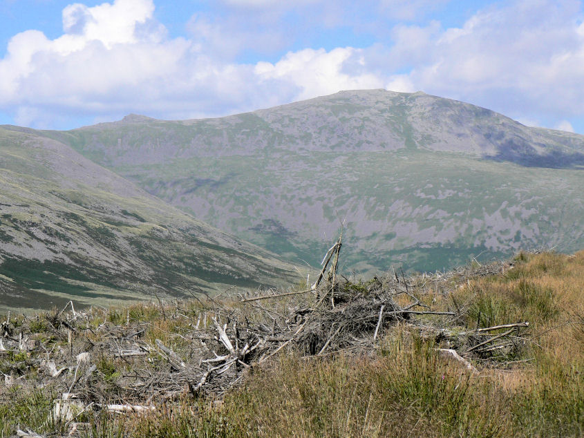
Little Gowder Crag and Haycock.
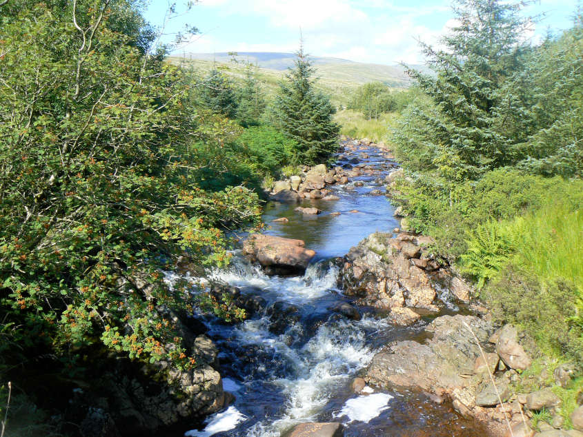
Bleng River.
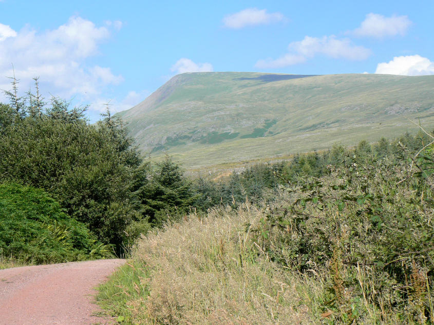
Seatallan seen above Blengdale Forest.
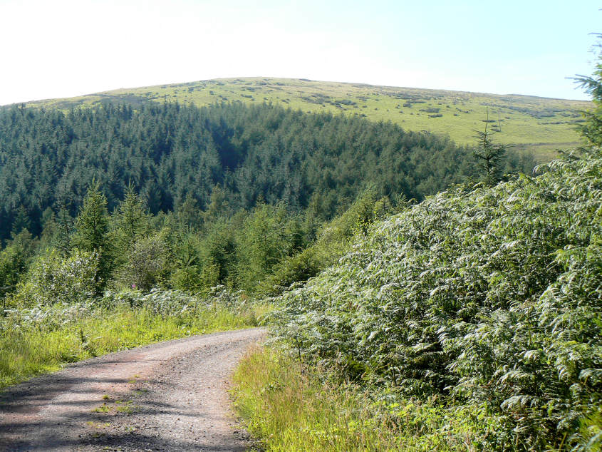
A first view of Ponsonby Fell.
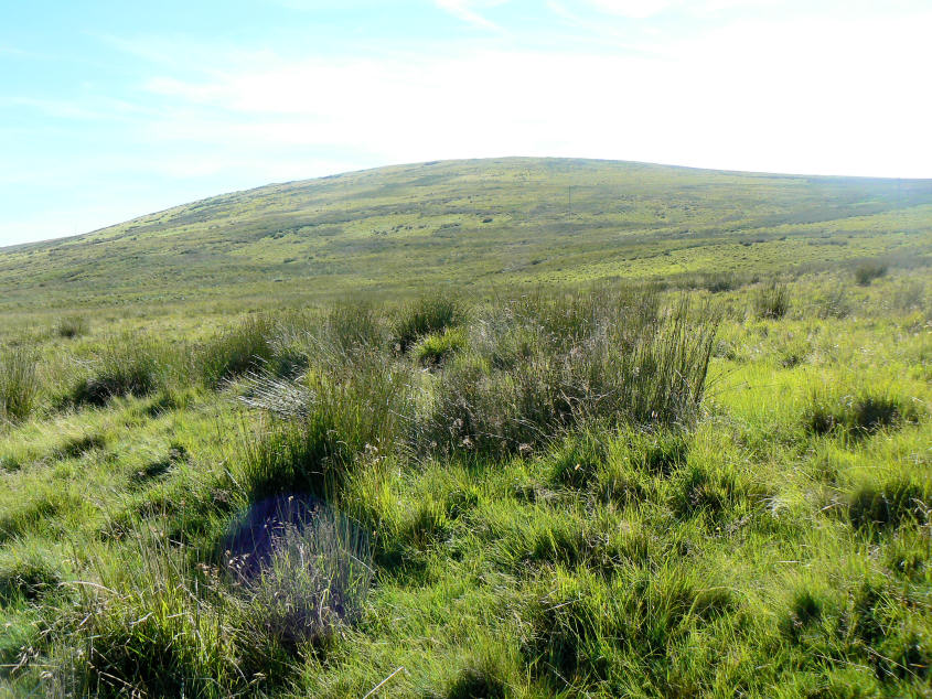
Starting the gentle, but wet, climb up Ponsonby Fell.
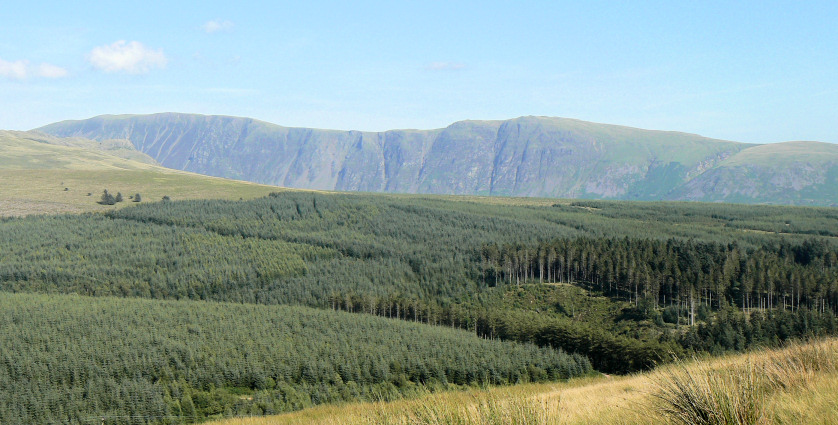
The Screes come into view as we start to climb higher.

The summit cairn was hidden and could have been missed if I hadn't known that there was a cairn to find.
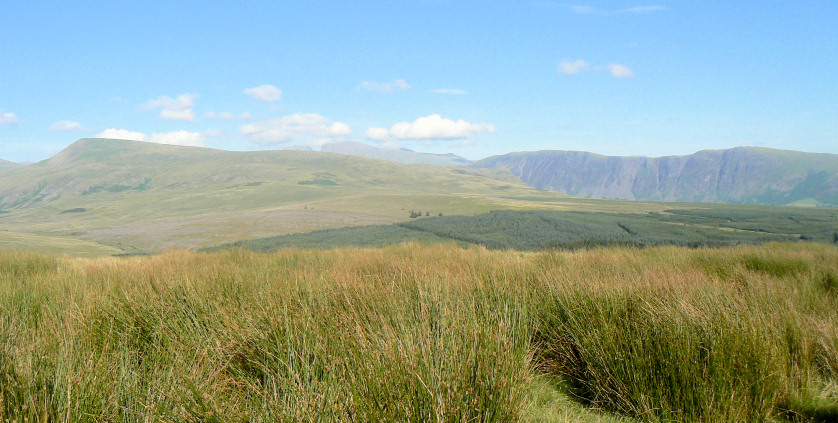
The views from the summit were excellent. Here looking across Seatallan to Mickledore.
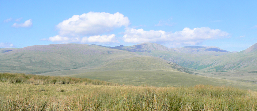
Further round Caw Fell (L), Haycock (C) and Red Pike (R).
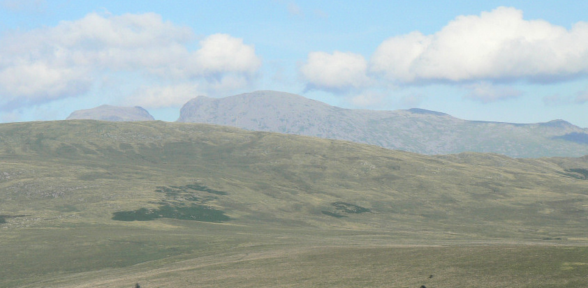
Mickledore and the Scafells.
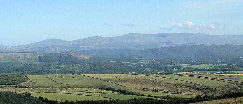
Looking south to Whitfell.
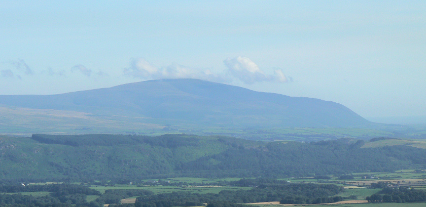
Further around is Black Combe.
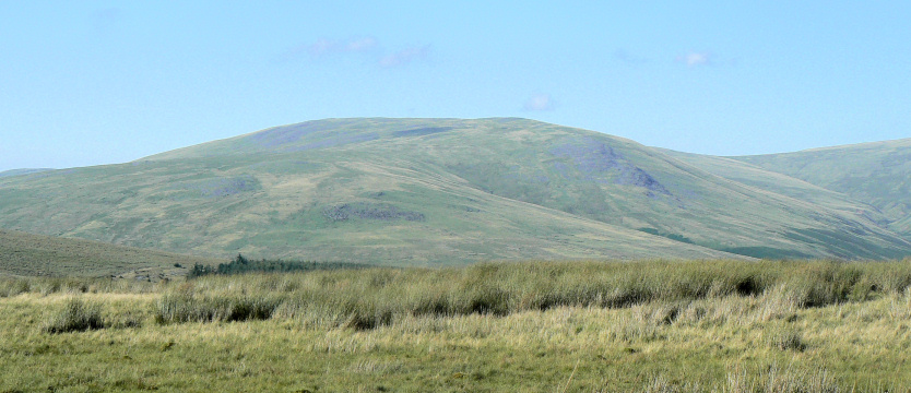
Lank Rigg
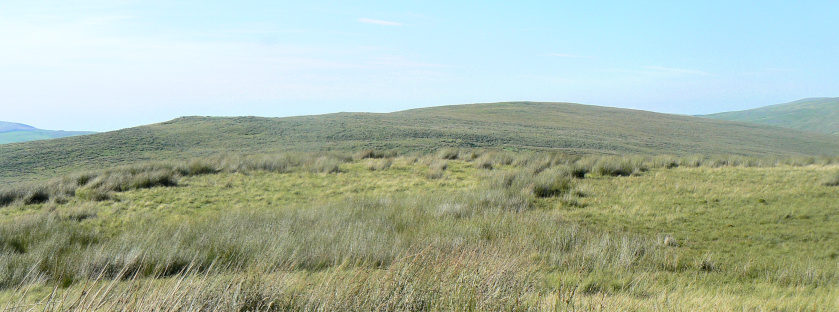
Swainson Knott (R) and Stone Pike(L) complete the hills that can be seen from the summit. With views like these it's difficult to understand why Wainwright didn't rate this fell. We had intended to do these two hills today but access was blocked by a fence with more barbed wire than I fancied tackling today so we left them for another day.
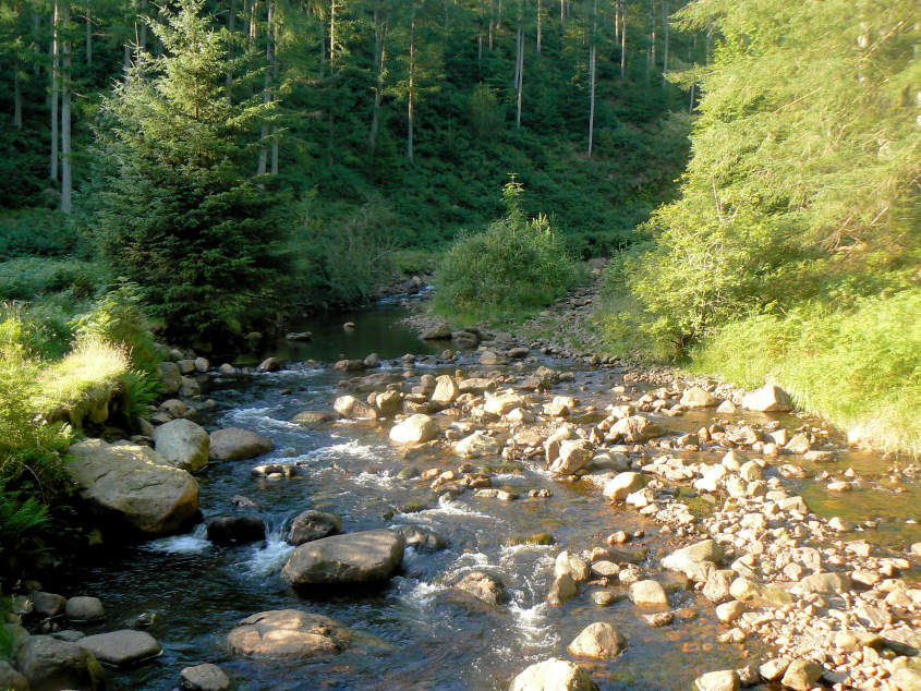
Bleng River as we get the return route correct and cross it using the footbridge we should have used earlier in the walk. Although if we had of used the planned route we wouldn't have enjoyed our early views of Seatallan and Haycock so no complaints about the extra mile or so that my earlier error caused us to walk.
All pictures copyright © Peak Walker 2006-2023